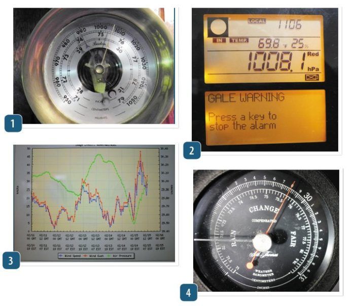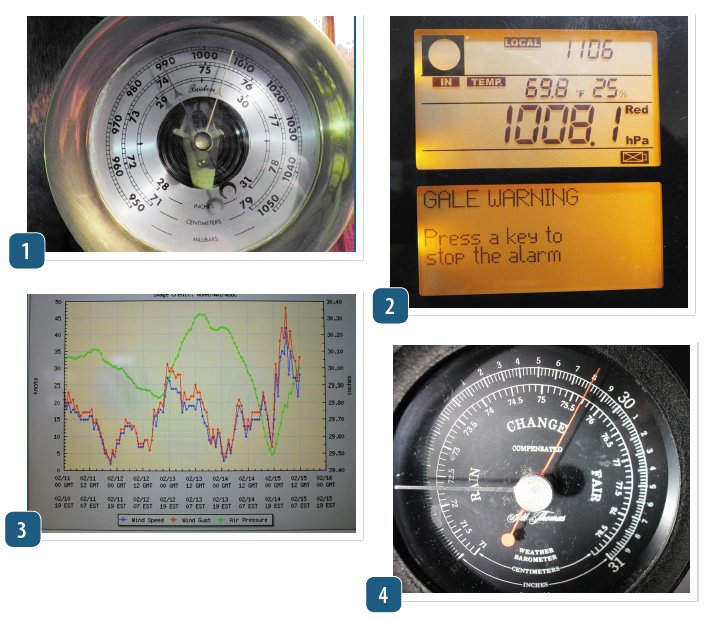
Many electronic barometer/barographs feature an auto alarm that warns of pending bad weather, and we found them to be accurate enough to heed. But whats most interesting is how an instrument that only tracks pressure and temperature can make such accurate calls. It all boils down to how rapidly atmospheric pressure is changing, and according to Alan Watts in his Weather Handbook (a longtime favorite among cruisers), a change of 3 millibars or more per hour is a reliable indicator that gale-force conditions are likely to be headed your way.
Slower, constant rising and falling readings denote the normal changes in the semi-permanent high- and low-pressure systems or the fact that their centers are further away from your location. Gradual changes indicate a smaller gradient between weather systems, a feature that normally means less wind. Occasionally however, these can be hot, humid air masses that spawn nasty, single-cell thunderstorms packing short duration gale-force winds that arrive without the usual warning of a large-pressure swing. In these cases, the sky (and radar, if available) are your warning.
A rapid rise in barometric pressure indicates the approach of a high-pressure system, and the classic onset of such change occurs when a cold front rolls through and dropping pressure is replaced by a dramatic rise. The tight pressure gradients found in these big highs can turn the exit of a cold front into a blue-sky and sunny, two-day gale.
The tropics make the barometer seem broken, at least until a tropical storm or hurricane is approaching. This is because the highs and lows transit the mid latitudes, and pressure variations in the tropics are far less volatile. Just look at the slack isobars on a tropical weather map, and its easy to see why the barometer is less useful in these waters.
The savvy offshore sailor uses the barometer to confirm his or her actions during a storm avoidance maneuver. The first step in such evasive action is to plot on your routing chart where the storm you hope to dodge is located and forecasted to head. Then, as you make your way along your avoidance route, keep track of what the barometer is reading. If you are indeed moving away from the center, the barometer should begin rising, at least this is the case when the storm is not rapidly intensifying. If its doing so, amend your route in order to gain increased separation.


