There are 15 basic bottom terms and 58 types listed on NOAA chart 1 (https://nauticalcharts.noaa.gov/publications/docs/us-chart-1/ChartNo1.pdf), the guide to chart symbols. (We’ve listed only a few types here.) There are also 10 qualifying terms. The accuracy of these designations varies widely by location and depth. Bottom material can vary over short distances and change with time.
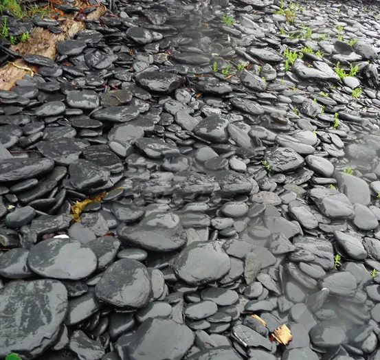
For example, in the Chesapeake, soft mud (so M) and ooze (Oz) are generally not identified, nor are many areas of gravel (G), cobbles (Cb), hardpan (h or hrd) and grass (grs, grass, or Wd).
Along with diving or collecting bottom samples, observing the shoreline can provide clues to the bottom type.


